Iman Mitra
Located on the left bank of the river Hooghly, the Kolkata Dock System is one of the oldest dock systems in India. It is commonly described as the ‘gateway to Eastern India for the rest of the world’. Its vast hinterland includes West Bengal, Bihar, Jharkhand, Uttar Pradesh, Uttarakhand, Madhya Pradesh, Chhattisgarh, Punjab, Haryana, Rajasthan, Assam, the North Eastern States and the two landlocked neighbouring countries, namely Nepal and Bhutan. Currently it has two approaches from the Bay of Bengal: (1) the Eastern Channel and (2) the Western Channel. Navigation to and from the port, at this moment, is only done through the Eastern Channel, which is one of the longest navigational channels in the world. The pilotage distance to the Port from the mouth of the Eastern Channel is 223 km, of which 148 km is river pilotage and 75 km is sea pilotage, pilotage being the act of assisting the master of a ship to navigate the entrance into or exit from a port within confined waters. There are several navigation aids provided by the Kolkata Port Trust (KPT) – the port management authority in Kolkata – for the safe passage of vessels: two lighthouses on Sagar Island and Dariapur on the right bank of Hooghly, five unmanned light vessels on the sea, automatic tide gauges maintained at Garden Reach, Diamond Harbour and Haldia for round-the-clock recording of tidal data, manual tide gauges maintained at Akra, Moynapur, Hooghly Point, Balari, Gangra and Sagar, 500 river marks, 90 lighted buoys, and 42 unit buoys, a wireless VHF network for communication between approaching vessels and in-shore and off-shore KPT establishments and vessels, an electronic position fixing system named ‘Syledis’, and a satellite-based Differential Global Positioning System (DGPS).
This brief description of the site portrays the complex and interconnected framework of infrastructure, software and labour. In my research I seek to understand this framework from two specific yet interconnected perspectives: the spatialization of calculability and the financialization of space. To proceed with my analysis I have chosen the Kolkata (erstwhile Calcutta) Port as a site where these two perspectives collide and communicate with each other and give birth to a particular form of logistical governance. This form of governance requires negotiations with and navigations through a network of institutional apparatuses which produce the material basis of calculations and speculations that make sense of the connections between infrastructure, software and labour.
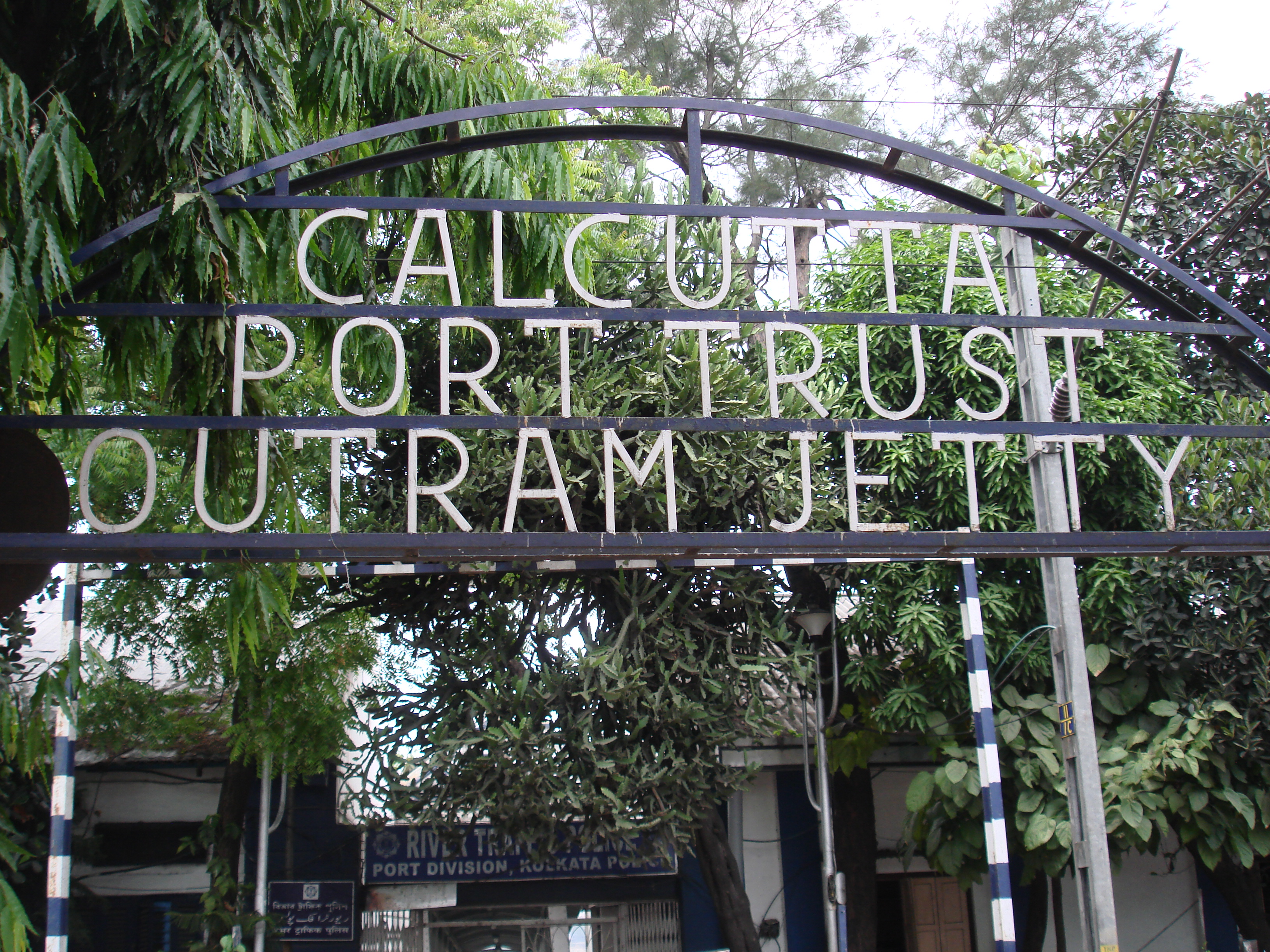
Kolkata Port Trust (KPT) is one such institutional apparatus, and has been in charge of the management of Kolkata Port since 1870. Founded by the colonial rulers of India, it was bestowed with the responsibility of expanding and managing the Calcutta Port at Kidderpore. At the turn of the nineteenth century the port of Kolkata experienced an increase in its shipping traffic and thus an augmentation of its facilities. The export of coal, for example, rose to 877,895 tons in 1898–99 from a mere 4,282 tons in 1893–94. Similarly, the export of food grains expanded to over two lakh tonnes in the same period from only 400 tonnes five years before. In 1914, at the onset of the First World War, the Kidderpore dock had 17 general cargo berths and 10 coal berths, indicating that coal was the primary object of cargo movement. Another important export item from Calcutta was tea, for which, according to Animesh Ray, separate transit sheds and warehouses were installed on the side of the river. On the other hand, the chief import item in the second half of the nineteenth century was kerosene oil. There was a period of reduced cargo traffic after the Second World War and this continued till 1951. Some recovery was made during the Second Five Year Plan (1956–61) because the government decided to import iron, steel and project cargoes. The dock facilities also expanded with the replacement of cargo handling equipment, cranes, railway tracks and diesel locomotives, with newly purchased equipment. Under the same plan, one hundred and thirteen gangs of secondary cargo and coal dock labourers, including fifteen hundred temporary workers, were made permanent employees of the Port.
Calcutta Port, 2016. Photograph by Ned Rossiter.
The Indian Government implemented different Five Year Plans and through these provided resources for all the ports in India. According to Animesh Ray after the depreciation of port facilities during the Second World War, the First Five Year Plan (1951–56) placed emphasis on the acquisition of ‘new vessels like dredger, survey vessel, dock tug, anchor vessel, light vessel and launch’. The Second Plan (1956–61) continued with this scheme through the reorganization of facilities and the introduction of the formalization of port labour. The most important intervention in the Third Plan (1961–66) was the initiation of another dock at Haldia to assuage the pressure on the Calcutta Port. Another important decision taken during this time was to construct a barrage upstream of the river Hooghly under the name of the Farakka Project. The aim was to increase the headwater supply of water to the river in order to facilitate the drafting of large vessels. This decision created a lot of controversy and geopolitical tension between India and Bangladesh. Later plans implemented by the government have been the construction of Haldia dock and the replacement of old technologies with new ones by developing container parks, the installation of computerized systems, and the modernization of railway tracks.
On deeper examination it is clear that the resources provided are the result of endless calculations and speculations about the geopolitical exclusivity of the port. Because it is a riverine port, Kolkata has a narrow and difficult approach encumbered with numerous sand bars across the river Ganges. The port thus has the longest pilotage distance to travel, a journey during which vessels have to shirk sand bars and make intricate calculations about the height of tides to allow for easy drafting. Any detailed study of the movements of the ships reveals a complex interface between human skills and non-human predicaments. What is crucial is to understand that the non-human elements are not fixed components in a deterministic matrix of logistical paraphernalia. They also move, shift identities and participate in international conflicts like the one which arose between India and Bangladesh over the release of water from the river Padma through the Farakka Barrage to facilitate comfortable draft of the Kolkata-bound vessels.
It is often said that the Kolkata Port is dying because of difficulties associated with pilotage and drafting. However, an examination of its annual Administrative Report for the year 2013–14 suggests a process of recuperation. Currently the Kolkata Port is ranked third among all Indian major ports in terms of container traffic handling, it is ranked second in terms of growth in the handling of both iron ore and fertilizer, and it is ranked third for the handling of raw materials used for fertilizer among all the ports in the country. Also, Kolkata is ranked first for the number of vessels handled during the financial year of 2013–14 (17.1 per cent of the total number of vessels handled in all Indian ports). Numerous Public-Private Partnership (PPP) projects are also underway including development of berth facilities at the Haldia dock, betterment of transloading facilities at the Sandheads and its vicinity for midstream handling of dry bulk cargo, and the development of a container terminal in Diamond Harbour. According to recent calculations, in the quarter of April-September 2015 there was, under the Kolkata Port Trust, a massive 19.62 per cent rise in cargo traffic in comparison with the same quarter the previous year.

Kolkata Port, 2016. Photograph by Ned Rossiter
One reason of this upsurge in productivity is the increasing geo-spatial importance of the Kolkata Port in South East Asia. With the realization of the New Silk Route in the near future, the port in Kolkata will become a strategic nodal point in an international trade network, along with ports in neighbouring countries like Myanmar and Bangladesh. The Government of India has also started to acknowledge Kolkata port’s geopolitical potential and, accordingly, has emphasised in its latest scheme to improve maritime trade, titled ‘Sagarmala’, the need for ‘modernization’ given it is a major port linking Chennai (India) with Yangon (Myanmar) and Chittagong (Bangladesh). The modernization drive will focus on the development of efficient coastal transport networks, the promotion of port-based special economic zones (SEZ) and ancillary industries and the enhancement of tourism through aestheticization improvements. The Union Shipping Minister, Nitin Gadkari, recently revealed that the total investment in this project will exceed Rs. 70,000 crores.
One of the crucial features of the Sagarmala project is an emphasis on the need to utilize land in and around the docks by creating investment opportunities for port authorities like the Kolkata Port Trust. KPT, being the largest owner of land in the city of Kolkata, has thus become extremely active in the domains of land speculation, rent extraction and financialization of space. Right now the port authority owns different sized parcels of land scattered all over the city. Most of these plots are leased out for various residential and commercial purposes. The authority extracts rent from the numerous warehouses it owns in Kolkata including the Strand warehouses, the Armenian Ghat Warehouse, the Canning Warehouse and the Clive Warehouse. The rent income of the KPT is yet to become a major source of revenue for the port, but the 2013-2014 annual Administrative Report showed a small increase in rent and premium on leased land (2.41 crores) from the previous year. However, as newspaper reports show, KPT has become aware of the potential for remodelling these land parcels into more economically viable spaces for rent extraction and in trying to recalibrate the older rates and schedules. This was quite clearly evident in a recent squabble between KPT and a film production company which continued to run its business at an 80,400 square feet plot in the Hyde Road Extension after the expiry of the lease and the port authority’s refusal to renew it.
KPT is still a public sector enterprise with thousands of permanent staff and millions of dollars in built-in assets – a typical situation in many Asian countries but unusual in Western countries. The connections between a range of different calculations – pilotage and drafting measurements, revenue and expenditure of the port system, valuation and depreciation of human and non-human assets, risk assessment and insurance technologies, and so forth – and the modalities of the financialization of space – by reforms in rent structure and the revaluation of land holdings with a strong emphasis on investments in the creation of special ‘economic’ and ‘aesthetic’ zones as part urban projects associated with neoliberal capitalism – cannot be addressed without a consideration of the governmental apparatuses in operation. Different regimes of calculability operate within the context of the Kolkata Port Trust’s institutional networks. By exploring the processes used for making calculations – as evinced in the expert narratives of cargo traffic and the futuristic development agendas that seek to exploit the port’s geopolitical exclusivity – it is possible to shed light on the notion of logistical governance. Expanding on the Foucauldian notion of ‘governmentality,’ I am inclined to argue that the agential boundary of a governmental state is not limited to the procedural task of the dispersal of resources under the discursive tutelage of political economy, but can accommodate various uncertainties to do with the particular spatial ontologies of these modalities of dispersal.